Etowah River Fishing Spot
- Public Fishing: Yes
- Elevation: 1144'
- Last Modified By: vinny60 on 09/08/09 02:15 PM
- Ask about Etowah River in our Fishing Forums
Photos
Fish Species
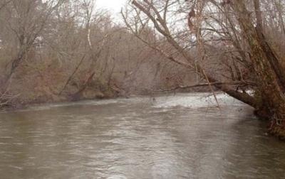
Etowah River Description
according to the sign at the water they have had reports of sturgeon reported in the river and if you catch one it is to be released immediately
and the gar fish stole a fishing pole today from my buddy if you see it attached to a fish he would like to have it back
The Etowah River originates in the mountains of Lumpkin County north of Dahlonega, GA and flows south and southwest into Lake Allatoona over the course of some 60 to 75 river miles. Etowah River Campground has 28 beautiful acres located on the Etowah River with 1500 feet of river front. Great trout fishing is available or try your hand at panning for gold. Tubing/playground, bath house with hot showers. Table and fire ring on each site. Year-round tent & RV camping - 62 full hook-up pull thru sites; sunny or shady sites. Located only 10 minutes from downtown Dahlonega and just one hour north of Atlanta - close to National Forest and Appalachian Trail. The Etowah River and the Toccoa River flow in different directions. The Etowah drains the south side of the Tennessee Valley Divide, while the Toccoa drains the north side. In these watersheds, visitors will find the highest waterfall in Georgia, as well as the approach trail for the beginning of the Appalachian Trail. A fish hatchery allows one to see how the hundreds of thousands of rainbow trout stocked in Georgia's rivers and streams are raised to catching size. The two fine rivers provide canoeing opportunities for boaters of varying skills and experience. Canoeing ETOWAH RIVER. The upper section of the Etowah River is ideal for beginning canoeists, families, and organized groups who want to run a brisk mountain river and also be close to the scenic and historical attractions of Dahlonega. A 12-mile stretch can be canoed in one day of steady paddling or two leisurely days. (Those opting for the two-day version can break the trip at Castleberry Bridge and camp at the nearby Blackburn Park 1.3 miles south of Auraria on GA 9E or go into Dahlonega 7 miles south on 9E.) One hazard is Etowah Falls, 1.5 miles from the put-in. The canoeist must land on the rocks on the right bank and portage over or around them. Below Castleberry Bridge is an old mine tunnel about 7 feet in diameter and about .2 mile long. Scout this carefully. Run it only if light is visible at the other end; if the exit light is not clear and bright, the tunnel is likely to be too obstructed with debris and stumps to be safely passable. Directions: Put in at the bridge on US 19 west of Dahlonega [Fig. 19(20)]. Castleberry Bridge [Fig. 19(21)] is a good take-out, or the trip may be continued to the bridge at GA 136
The Etowah River rises northwest of Dahlonega, Georgia, north of Atlanta. Its name is the Cherokee version of the original Muskogee word "Etalwa" which means a "trail crossing." On Matthew Carey's 1795 map the river was labeled "High Town River." On later maps, such as the 1839 Cass County map, it was referred to as "Hightower River," a name that was used in most early Cherokee records.